
Beyond
GNSS-free
Autonomy
GNSS (Global Navigation Satellite System, the category that includes GPS) signal-independent flight — anywhere.
revot systems pioneers truly autonomous intelligent robotics for society.
※ On this site "GNSS" refers to all Global Navigation Satellite Systems including GPS, QZSS, and others.
News Release
Perceive Space.
Act Intelligently.
We develops autonomous drones that combine LiDAR-based 3D spatial awareness with edge-AI real-time decision making. Independence from GNSS enables operations in environments where conventional drones cannot fly: indoors, underground, and dense urban canyons.
LiDAR and cameras scan of the surroundings, and the aircraft builds its own 3D map on the fly.
On-board edge AI decides flight paths and obstacle avoidance in real time.
Even indoors, underground, or in dense cities beyond satellite reach, it keeps flying safely on its own judgment.
Three Business Areas
Advancing real-world robotics through contract development, consulting, and proprietary products.
01
Contract Development
Custom development of drones, robots, and IoT systems tailored to your challenges — from design to delivery.
02
Technical Consulting
From business strategy to technology selection — leveraging expertise in GNSS-free autonomy, sensor fusion, and Physical AI.
03
Own Product Development
Developing and selling proprietary products — GNSS-free LiDAR drones, 3D scanners, and more — built to solve real-world challenges.
Core Technologies
Full Autonomy
Without GNSS
Combining LiDAR SLAM and Visual Odometry enables stable autonomous flight indoors, in tunnels, and in mountainous terrain where GNSS is unavailable. Zero dependency on positioning infrastructure.
Real-time Decision
with Edge AI
Onboard edge AI generates 3D maps while performing real-time path planning and obstacle avoidance — no cloud connection required, zero-latency decision making.
Digitize Fieldwork
with Precision 3D Scan
Our proprietary scanner series captures construction sites, plants, and cultural heritage objects as high-accuracy point cloud data — a powerful driver of digital transformation.
Our Products
Drones, flight controllers, and 3D scanners engineered for GNSS-free autonomous operation.
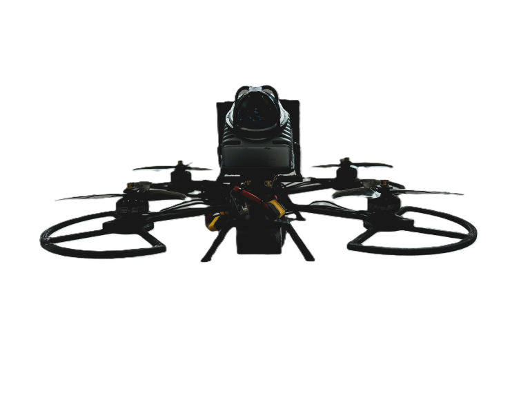
GNSS-free LiDAR Drone
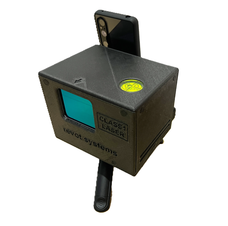
3D Scanner R3DS-400-Handheld
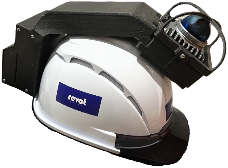
3D Scanner R3DS360-40-HandsFree
Case Studies
A selection of contract development and collaborative research achievements.
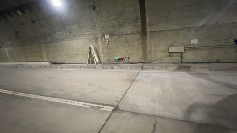
研究開発
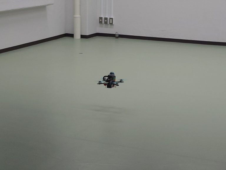
Demonstration experiment of a small autonomous indoor drone
建設
Autonomous 3D Scanning Drone
Infrastructure Development
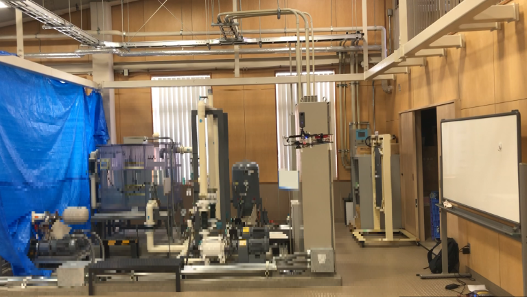
Equipment Inspection Drone Demo
Let's Build the Future Together
Whether it's contract development, technical consulting, or product adoption — we're ready to talk.